Explore the innovative ways drones are revolutionizing precision agriculture, enhancing crop health monitoring and increasing yield.
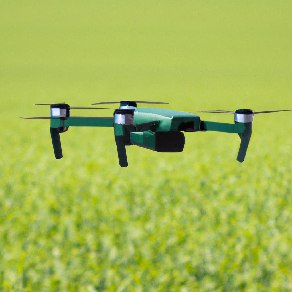
Drones are revolutionizing the agricultural industry by enabling precision farming, a method that optimizes the use of resources to increase crop yield and reduce waste.
These high-tech devices provide farmers with detailed aerial data, which can be used for various applications such as crop monitoring, irrigation management, and pest detection.
This article will delve into the specifics of how to use drones in precision agriculture, from selecting the right drone and understanding its operation to analyzing the data collected.
It will also cover the legal and ethical considerations of drone use.
With this comprehensive guide, you’ll have all the information you need to integrate drones into your farming practices efficiently and sustainably.
Key takeaways:
- Drones provide real-time crop health monitoring and data analysis.
- Drones enhance precision irrigation and pest management in agriculture.
- Technological advancements in drones include GPS, AI, and thermal sensors.
- Different types of drones, such as multi-rotor and fixed-wing, offer unique benefits.
- Future developments in drone technology will continue to advance precision agriculture.
Look Inside:
Role of Drones in Precision Agriculture
Drones play a pivotal role by providing real-time data related to crop health, soil condition, and field variability. They offer an elevated perspective, capturing high-resolution images and generating heat maps, highlighting areas in need of attention.
Their remote sensing ability helps detect variations in electromagnetic energy reflecting off the crops, indicating any potential issues such as disease or nutrient deficiency. Drones are not just visual tools; they can selectively spray pesticides and deliver water based on the unique needs of the crops, reducing resource waste.
With their high efficiency and accuracy, drones assist farmers in decision-making, promoting a more efficient and sustainable farming method.
Benefits of Utilizing Drones in Precision Agriculture
Drones offer a multitude of advantages to the precision farming approach by addressing various critical aspects. Primarily, they provide high-resolution imagery capturing data across difficult-to-navigate terrains. This accessibility reduces the time and resources invested in manual scouting.
One defining benefit is their ability to efficiently monitor crop health. Equipped with specialized sensors, drones can detect plant stress invisible to the human eye. This early detection allows for timely intervention, preventing potential crop loss.
Another significant advantage is their role in precision irrigation. Using thermal sensors, drones can identify areas of a field that are over or under-irrigated, enabling a more efficient use of water.
In terms of pest management, drones armed with hyper-spectral, multispectral, or thermal sensors can identify pest invasions, facilitating swift and localized treatment. This minimizes pesticide use, contributing to both economic and environmental sustainability.
Finally, drones play an instrumental role in optimizing crop yield. By providing detailed data on crop growth patterns and soil conditions, they guide farmers in making informed decisions, resulting in higher productivity.
Technological Advancements: How Drones Are Elevating Precision Agriculture
Sophisticated drone technology, embedded with GPS, AI, and computer vision techniques, is significantly enhancing precision farming. These advancements enable drones to capture high-resolution aerial images and data, making it easier to assess crop health, irrigation needs, and pests or disease issues.
Drones equipped with multispectral sensors can identify problem areas in fields that the human eye might overlook. They capture different types of physical data, including heat and light reflection, offering critical insights on crop stress and irrigation inconsistencies.
Additionally, drones with Lidar technology generate 3D images of the farmland, helping farmers understand their field terrain better. This information is crucial in planning irrigation systems and optimizing resource usage.
Drones can now also be programmed to conduct specific tasks such as precise pesticide application. By leveraging GPS coordinates, they can spray exact locations with remarkable accuracy, reducing chemical use and environmental impact.
These technological advancements translate into higher crop yield, cost reduction, and sustainable farming methods, exemplifying how drone technology is becoming a game-changer in precision agriculture.
Functioning of Drones in Enabling Precision Agriculture
Drones equipped with advanced sensors provide farmers with invaluable data, influencing decision-making on the farm. These sensors can capture information in the visible and infrared spectrum, not visible to the human eye, aiding in the identification of plant stress or disease early on.
In precision farming, drones typically follow pre-programmed flight paths and use GPS to collect data from specific crop areas. This high-resolution imagery allows for the detection of pests, nutrient deficiencies, and irrigation issues, prompting early intervention.
Additionally, drones can be used for precision sprayers, delivering pesticides or fertilizers meticulously. This targeted approach reduces the volume required and lessens the environmental impact. Furthermore, drones can deliver higher resolution data than satellites or aircraft, capturing up-to-date field conditions, unaffected by clouds or time of day.
The ability to generate real-time insights makes drones invaluable tools, providing farmers with actionable data to drive efficient and sustainable farming practices.
Key Drone Systems for Tech-Savvy Farmers in Precision Agriculture
There are several top-tier drones available specifically designed for precision agriculture. First and foremost, multiple-rotor drones are best suited for quick scouting and mapping tasks, due to their high maneuverability and the ability to capture high-quality images and videos.
Fixed-wing drones, on the other hand, are perfect for covering large acreage quickly and efficiently. These unmanned aerial vehicles (UAVs) achieve longer flight times due to their design, making them ideal for extensive farmlands.
Hybrid drones are the marriage of these features, packing the maneuverability of multi-rotor drones and the flight endurance of fixed-wing drones. They are fit for a broad range of precision agriculture tasks.
Each drone type can be equipped with different sensor technology, with the most popular being multispectral and hyperspectral sensors used for crop health analysis. The sensors capture data at multiple light spectrum bands, allowing for an in-depth analysis of plant health.
Also noteworthy, thermal sensors detect temperature changes in crops, which are often indicative of water stress or disease. Lastly, Light Detection and Ranging (LiDAR) sensors are used for constructing highly accurate 3D models of farm structures and terrain.
These drone systems, coupled with robust data analysis software, present an innovative and sustainable toolset for modern farmers to maximize efficiency and productivity.
Future Trajectory of Drones in Precision Agriculture Technology
Moving forward, advancements in drone technology promise to reshape the landscape of precision agriculture. High-resolution cameras are becoming more compact and affordable, improving the detailed level of analysis. Advances in artificial intelligence and machine learning algorithms are creating the capacity to identify subtle changes in crop health before they’re visible to the human eye, allowing for early interventions.
In addition, ‘swarm’ technology could enable a single operator to manage multiple drones simultaneously. This could revolutionize large scale monitoring and data collection, making these processes more efficient and cost-effective.
Lastly, improvements in drone endurance and the development of solar-powered drones are projected to increase flight duration significantly, enabling an extensive land coverage in a single run. Overall, these developments are expected to drive more intense adoption of drones, enriching precision agriculture strategies worldwide.
Plant Health Scouting and Monitoring Using Drones
Incorporating drone technology into daily farm operations offers a fresh perspective on crop health. Equipped with advanced sensors including Near-Infrared (NIR) and Red Edge (RE), drones can capture high-resolution images to create health maps of the crop field. These maps highlight potential problem areas that require immediate attention, acting as a guide for farmers.
Using data-processing algorithms, the captured images are specifically designed to detect issues that are not visible to the naked eye. For instance, such technology allows farmers to identify plant stress related to pest infestations, disease, water scarcity, or nutrient deficiencies much earlier than conventional on-field scouting methods. This early detection gives farmers the advantage of addressing crop issues promptly, potentially saving a significant portion of the yield that might otherwise be lost.
Another important feature of drone technology is its ability to perform these operations regularly without disrupting routine farming tasks. This constant monitoring aids in the timely implementation of corrective measures, enhancing crop health, and consequently, maximizing crop yield sustainably. In this way, drones dynamically transform plant health scouting and monitoring.
Monitoring Field Conditions With Drone Technology
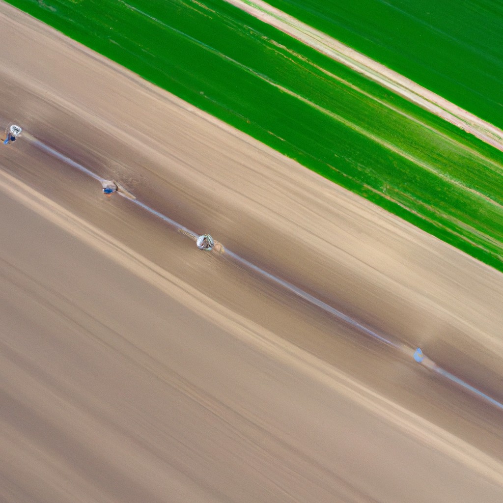
Drones equipped with sensors and imaging capabilities offer a bird’s-eye perspective, providing comprehensive field data which was previously difficult to access. They are capable of scanning the ground and creating real-time maps of it, enabling a farmer to monitor variations in the field conditions such as soil moisture or the growth status of crops.
This immediate feedback allows for quick strategy changes on the fly, whether that be adjustments in the watering schedule, fertilizer application, or crop rotation strategy. Additionally, drones can monitor fields during critical periods of crop growth, helping to prevent diseases and ensure optimal yield.
Through the lens of drone technology, farmers have an enhanced tool to keep a pulse on their fields, improving their decision-making while managing large scale agricultural production.
Precision Spray Application Using Drones
These flying machines, equipped with smart spray systems, can judiciously apply fertilizers and pesticides directly to crops. By following pre-programmed flight paths and using multi-spectral imaging sensors, drones can detect areas of the field that require additional nutrients or are affected by pests.
Based on these data, they can accurately disperse the needed amount of product, ensuring each plant receives the right treatment. This minimizes the overall usage of agricultural chemicals, boosting crop health while reducing environmental impact.
Moreover, drone technology facilitates spraying in challenging terrain or large-scale farms, saving time and labor, and optimizing resource usage. Swapping traditional spray methods for drone technology not only enhances efficiency but also contributes to more sustainable farming methods.
FAQ
How have drones been used in agriculture?
Drones in agriculture have been employed for tasks like monitoring water levels in previously inaccessible dams and managing stock counts as farm sizes and herd counts increase.
How are drones used in crop monitoring?
Drones, equipped with advanced data processing and 3D mapping systems, are utilized in crop monitoring to assess soil condition, health, and to provide a comprehensive three-dimensional view of the farm.
What are the benefits of drone technology in pest identification and management in farming?
Drone technology in farming helps in precise pest identification and management by allowing comprehensive field surveys and targeted application of pest control measures, thus improving efficiency and minimizing harmful environmental impact.
How does thermal imaging from drones revolutionize irrigation management in agriculture?
Thermal imaging from drones revolutionizes irrigation management in agriculture by providing precise, detailed, and real-time heat maps of crop fields, enabling farmers to identify water stress levels in plants and optimize water use for precise irrigation.
In what ways can drone data assist in predicting crop yield and improving harvest strategies?
Drone data can assist in predicting crop yield and improving harvest strategies by providing detailed aerial imagery for plant counting, crop health analysis, and identifying pest and disease hotspots to guide targeted treatments.
Related Reading
 New Farming Technology: Revolutionizing Harvests and Soil Smiles
 How Small Farmers Preserve Cut Flowers
 Farming Tools: Your Ultimate Guide to Green Thumbs and Dirty Fingernails
 Agriculture Mechanic: Boosting Efficiency in Modern Farming
 Ag Specialist: Your Secret Weapon in Sustainable Farming