Precision agriculture utilizes advanced technology to optimize crop yields and resource use, leading to more sustainable farming practices. This article will provide an understanding of how precision agriculture works and its benefits for both farmers and the environment.
Look Inside:
Definition of Precision Agriculture
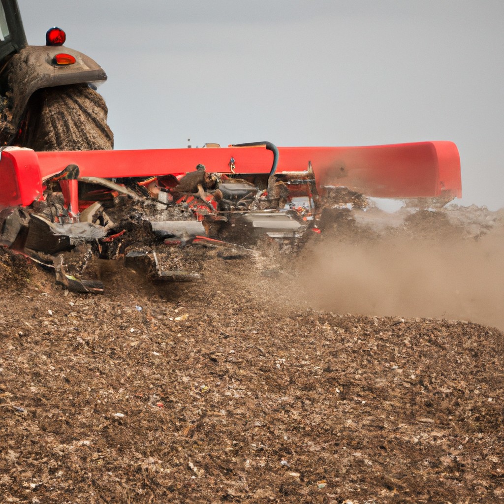
Precision agriculture is an innovative approach to farm management that leverages technology to monitor and control agricultural production. Utilizing a variety of tools like sensors, drones, and computer algorithms, this method aims to optimize inputs such as water, fertilizer, and pesticides, and to increase efficiency in farming practices.
At its core, precision agriculture hinges on the premise of doing the right thing, in the right place, at the right time. The use of real-time data makes it possible to tailor decisions to small variations in field conditions, which traditionally might have been treated uniformly across an entire field. This level of granular management can lead to significant improvements in crop performance and environmental stewardship.
Key points of precision agriculture include data collection from the field, data analysis to make informed decisions, and the precise application of treatments like seeds, chemicals, and irrigation only where and when they are needed. By acknowledging the natural variability of agricultural environments, precision agriculture allows for a more nuanced approach to cultivation that aligns with the goals of modern sustainable farming.
Core Components of Precision Agriculture
Global Positioning System technology underpins precision agriculture by enabling farmers to navigate fields with remarkable accuracy. This precise navigation ensures seeds, fertilizers, and pesticides are distributed optimally, reducing waste and increasing crop uniformity.
Geographic Information Systems integrate spatial and other data, providing a visual representation of farmland. These systems help in analyzing soil variations and other factors to improve decision-making for crop management.
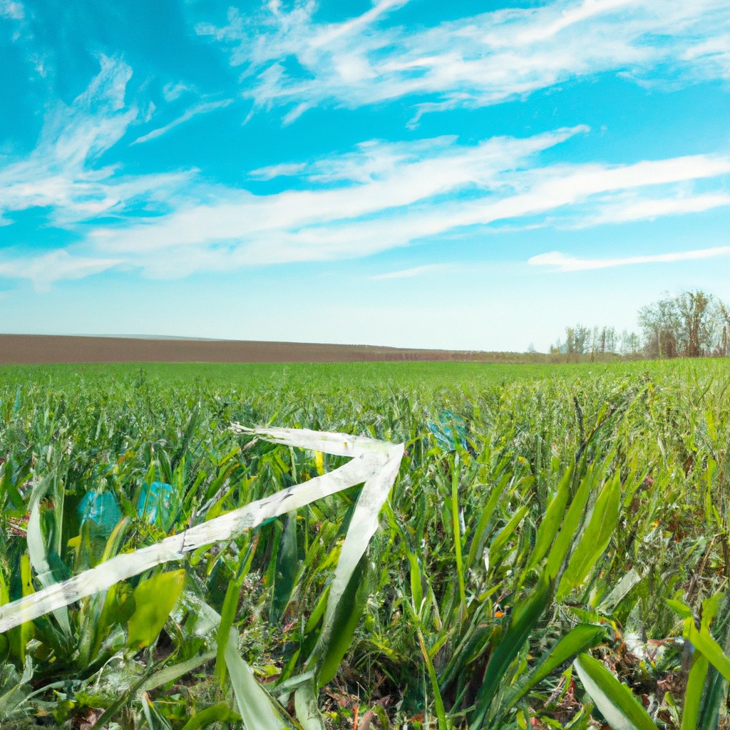
Remote Sensing, through satellites or drones, captures detailed crop health information. This data guides interventions such as irrigation or pest control precisely when and where needed, conserving resources and supporting healthier crops.
Variable-Rate Technology allows for the application of inputs at variable rates across a field rather than a uniform rate. By assessing each zone of a field, VRT enhances input use efficiency, tailoring to the unique needs of different field sections.
Global Positioning System (GPS)
GPS technology is one of the pillars of precision agriculture, offering real-time, location-based services that are critical for farm management. By receiving signals from a network of satellites, farmers can determine exact field positions to within meters or even centimeters. This precise localization allows for the creation of highly accurate maps for crop scouting, soil sampling, and field variability assessment.
With this information, operators can navigate equipment more efficiently, reducing overlap and ensuring optimal coverage of inputs like seeds, fertilizers, and pesticides. GPS also enables the automation of equipment, leading to precise planting, fertilizing, and harvesting. The capacity to work during low visibility conditions such as rain, dust, fog, and darkness enhances productivity and extends operational windows. Furthermore, data collected via GPS can be integrated with other technologies such as GIS and VRT for a comprehensive approach to farm management. This integration facilitates decision-making processes informed by exact spatial information, encapsulating the essence of precision agriculture.
Geographic Information System (GIS)
Geographic Information System technology plays a crucial role in capturing, managing, and analyzing spatial and geographical data, which enhances decision-making in precision agriculture. By using GIS, farmers can create detailed maps of their fields, which include information on soil types, elevation, and crop yields.
This spatial awareness allows for the recognition of patterns and relationships between different areas of a field. For instance, GIS can help identify zones with specific needs, such as areas that require more fertilizer or water, therefore aiding in the application of inputs precisely where they are needed, reducing waste and enhancing crop productivity.
GIS data also supports farmers in tracking changes over time, monitoring the effectiveness of different farming practices, and adjusting strategies accordingly. Furthermore, by integrating weather data, farmers can make informed decisions to protect crops against adverse conditions. Overall, the technology empowers farmers to adopt a more proactive approach to farm management, ensuring the sustainable use of resources.
Remote Sensing
Remote sensing technology uses satellites or drones to capture data about a farm’s soil and crop health. This technique allows for the monitoring of large areas efficiently, providing critical information which cannot be easily observed at ground level.
Satellite imagery can reveal variations in plant health, associated with factors such as water availability, pest stress, and nutrient deficiencies. By analyzing data over time, farmers can detect trends and make more informed decisions.
Drones offer a more detailed view and can be employed for targeted scouting. Equipped with sensors, they can measure specifics like moisture levels or detect disease symptoms early on. As a supplement to satellite data, drones offer real-time insights and can cover areas obscured by clouds in satellite images.
Data from remote sensing is integrated into other precision agriculture tools, ensuring a comprehensive approach to farm management. It helps farmers apply resources like water and fertilizers more effectively, minimizing waste and supporting environmental stewardship.
Related Reading
 15 Lucrative Agriculture Business Ideas to Boost Your Success
 Secretary of Agriculture Responsibilities: What They Actually Do
 Agricultural Commodity Prices Today: Your Daily Digest
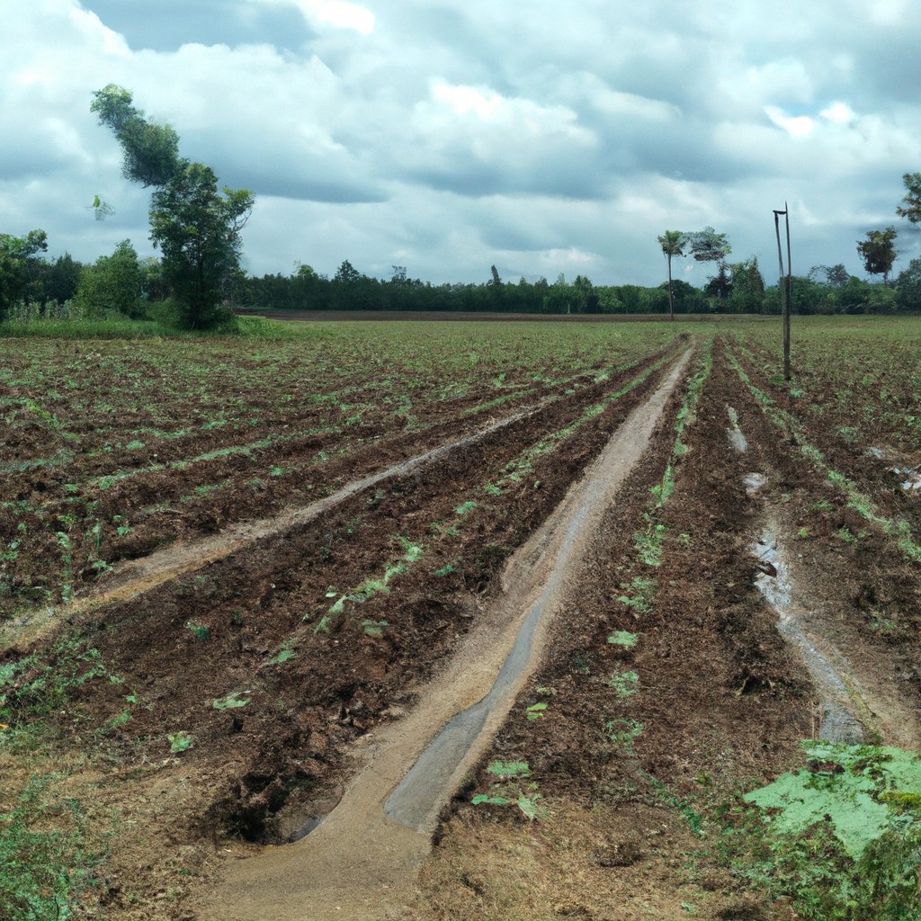 Biggest Agriculture Companies: Giants Feeding the World
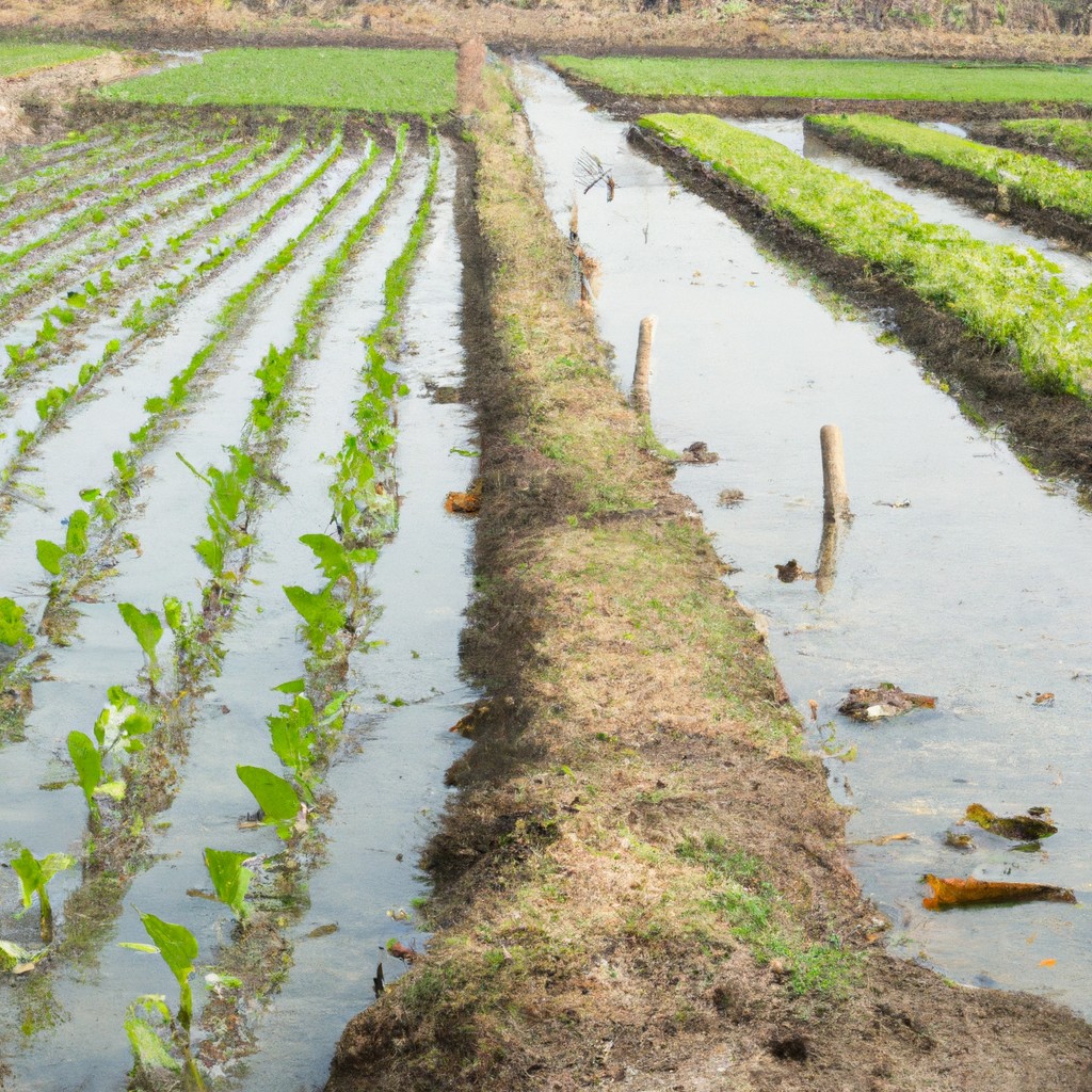 Sedentary Agriculture: Transform Your Soil Without Moving an Inch